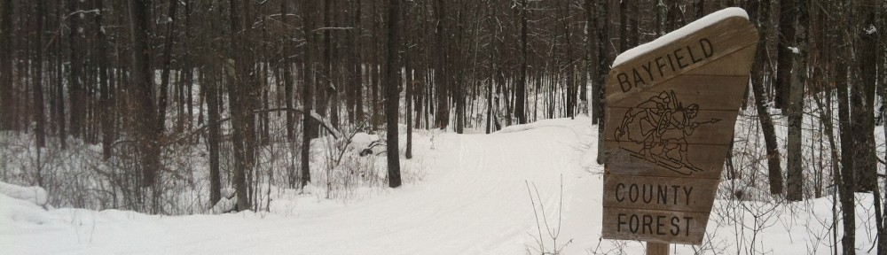
So far this year, the weather in Hayward has been pretty much perfect. December began with a deep freeze to freeze the lakes solid. January was cold and added some snow to the trail. (There was a high of 38 above and a low of 38 below.) There is a compacted base of 8 to 12″ of snow on the trail (and more ice than that on the lake). February has started off a bit warmer, but not anything that would impact the snow.
So far.
But the next week looks dicey. All of the models have some above-freezing temperatures. 40 is fine as long as it gets cold overnight and refreezes (in fact, for the race, it’s probably preferable). What we don’t want is a replay of 2000. That year was looking fine until the week before the race, when a sudden warmup with six straight days in the 40s, and four cracking 50s, canceled the race, and making national news. Apparently there was enough snow some of the race could have occurred, but there was standing water on the trail in several points, the day before the race was warm (in the 40s or higher all day), wet and windy.
So far this year doesn’t look nearly that bad. The next week will be warm. The NWS has four days in the 40s starting on Friday, but these look to be dry and temperatures should fall well below freezing each night. Dry air does not melt snow as quickly as moist air, and overnight temperatures refreeze the snow meaning it takes more energy to warm up before any melts the next day. The day to watch is next Tuesday and Wednesday. A weather system will move across the Northwoods on Tuesday and Wednesday, and its track and strength will determine how much of an issue it is for the race (sorry, Open Track skiers, it might not be a great year for the Open Track event).
If it evolves as the American model suggests, a low pressure center tracks across Iowa and would cool down enough to put some fresh snow on the course, and then draw in cold air afterwards for a good race. The Canadian tracks this feature as a disorganized system across Northwest Wisconsin, and would create some air and warmer temperatures, but would cool it down enough to freeze up for the race (and probably would impact the snow, but not too severely). The European model stalls the low even further northwest, then pivots warm-sector moisture around it to the southeast, still dropping some rain for Birkieland but, again, probably in a time frame where it would refreeze before the race. (It also shows a Birkie blizzard, with several inches of snow falling during the race.)
This warmer forecast is certainly suboptimal, and the groomers may well have their work cut out for them. But as it stands right now, we’re not facing a week of temperatures in the 50s and heavy rain like 2000 or 2017 (or 1981, 1998 or 2002). No model touches 50, let alone shows several days. But that said, we should remain a bit on edge in case it trends to the outside of the envelope of possibility.