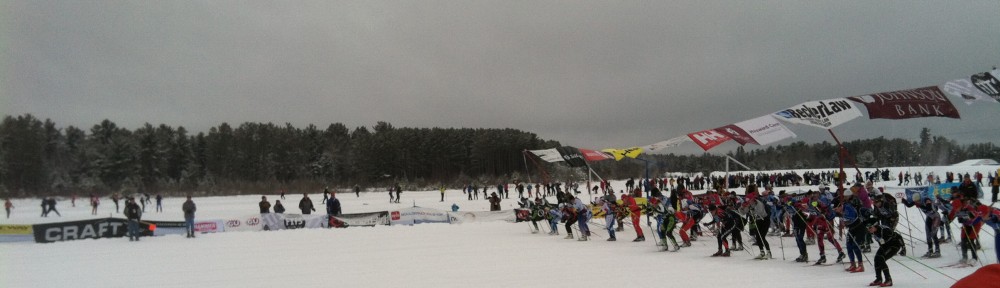
It’s February, so it’s time for some early Weather Speculation posts on BirkieGuide.com. Last year, you may remember that it was warm for the Birkie. There was plenty of snow, but the race took place in the middle of a thaw, leading to somewhat sloppy conditions. This year, a similar pattern is setting up, but it might come earlier, and the race may be cooler, but since it’s more than three weeks away, there’s not that much that we know.
Right now, snow depth in Birkieland is about a foot. It’s a good base, but it’s far less than we’d like at this juncture. That may change, soon, for the better. All signs point to a potent storm affecting the Upper Midwest in the middle of next week. The question is exactly where it will produce snow, and how much (actually, that’s always the question). Right now, models range from a few inches to upwards of a foot. A foot of new snow would go a long way towards calming the nerves of some Birkie skiers.
Then things get … interesting. There’s extreme, unprecedented heat in the arctic this year and weather patterns are not relatively well behaved. Several models—the US model in particular—have been toying with a huge ridge building over the western two-thirds of the country in the third week of February. This could bring a prolonged period of well above-normal temperatures to the Upper Midwest. This is still well out in the future, although the longer range outlooks are not pretty.
Having said that, there’s a lot that could mitigate this. First, it’s more than 10 days out on the models, what meteorologists sometimes call “clown range.” Second, it looks relatively dry, which could mean above-freezing days, but below-freezing nights, which would at least mitigate snow loss. Third, it appears that the heat may break before the Birkie, so if the snow lasts, the race could go off in more suitable conditions (i.e., no water skiing on the lake). Fourth, the axis of the ridge has been wavering east and west recently on the models. Some runs, it winds up centered over the Upper Midwest, and in others, it shows up much further west, over the Rockies, with colder air in place over Wisconsin.
So there’s a lot to watch. I wouldn’t get too worried yet, but if it doesn’t snow next week and the warm air pushes in, we may have a problem.