With less than three weeks until race day, let the BirkieGuide Unofficial Official Weather Speculation commence. Also stay tuned to the podcast for weekly checkins with BirkieGuide Chief Meteorologist Ketzel Levens.
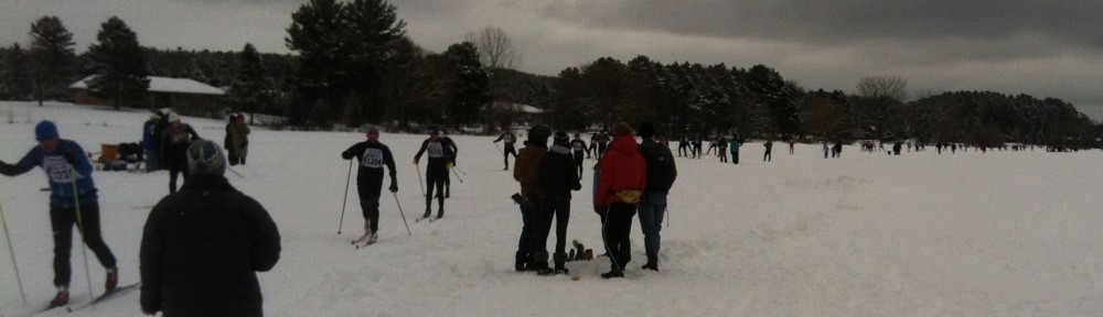
So, where are we now? Birkieland this year has been cold and dry. There was early snow, an unprecedented severe weather and warmup in mid-December, and then a cold, dry pattern since. Snow has been higher to the north of the Birkie Trail, but Hayward has seen only 7.1 inches of snow this year. The only saving grace is that with temperatures averaging almost 10 degrees below normal, it hasn’t melted. So ice on Lake Hayward should at least be solid (there won’t be any big melting flows to disrupt it, and it’s already Pisten Bully-thick).
The main concern right now is that with relatively low snowpack, a major warmup would spell disaster for the Birkie Trail. So, what does the next two weeks have in store? According to the major models, not much. There may be a few days in the 30s, but the cold snowpack should be able to handle that and transforming a bit of the top might improve conditions. And most of the models show a bit of snow—some of which is falling today—in the next 10 days. The Canadian is most bullish on snow, but also has the highest max temp. So it’s a tradeoff.
240 hour outlook:
- ECMWF: Max temp 34˚, 4″ snow
- GFS: Max temp 32˚, 6″ snow (384 hours: 8″), previous run 36˚/7″
- CMC: Max temp 41˚, 11″ snow
Resources:
Pivotal Weather / Tropical Tidbits
For race day? Out this far it’s anyone’s guess. So it could be 30 below or 30 above, sunny or snowing. But most likely, we’ll be lining up on the start line.