So, there was some question on the models this afternoon as to where the western edge of the snow would be. The NAM model was an outlier and even suggested that the snow would only reach to the Minnesota-Wisconsin border, with only a few inches in Birkieland. As much as I like big snowstorms, big snowstorms the day before the Birkie create big headaches, so I was kind of, sort of maybe a little bit rooting for this model.
Well, it fell in to line behind the rest of the guidance, so, bring on the snow! Here’s the TL;DR version of the next few days, weatherwise; I’ll go in to more detail below:
- Warm today! 40s in Hayward right now.
- Cool but not cold tonight. Only in to the upper 20s, probably cool enough to freeze the base, not that it really matters.
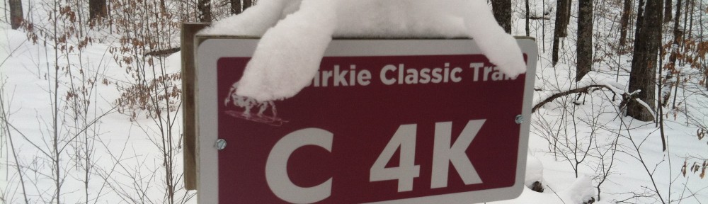
- Heavy snow begins tomorrow around noontime and continues through Friday morning. 8-12 inches. Don’t drive up tomorrow night. Just, don’t.
- Temperatures drop from 30 to 10 during the storm, don’t budge tomorrow. Strong winds.
- Race start temperature around -3, winds slacken somewhat.
- High on Saturday around 10, wind chills remain below 0. Dress warm. Light snow may continue to race time. Soft skis.
And here’s the longer version. We’re looking at textbook Panhandle Hook storm, and I am going to give the award to the European Model which was on top of this a full week ago, although the GFS had the same idea, and even the NAM extension was clued in. The NAM has been wishy-washy, but the other models have held serve, and now it’s go time. The GFS’s most recent run spins up a real doozy of a storm, dropping well over a foot of snow on the Birkie Trail on Thursday evening; let’s all just thank God or Allah or the Flying Spaghetti Monster or whoever that it isn’t a day later; I don’t know if the race could be held with that much new snow. As it is, expect things to be slow on Friday. I don’t expect a foot and a half, but 12″ is not out of the question. It should be dry and powdery by the end, and it will be compressed but you can only knock so much air out of the snow, especially if it’s still falling until Saturday morning and blowing. The course will be soft.
Then there’s the cold. We should be used to this, because about half of recent races have started at or below zero (here’s our weather history page). The added rub here is that it may be windy. The models look to slacken the winds in the evening, which would be preferable, but if they don’t we’ll have a nice breeze from the west. Guess what direction the start goes? Due west. Guess what direction the second power line segment (after the turn) is? Due west. Get ready for a headwind at the start.
Once in the trees it should be pretty nice. Mostly cloudy (so no need for sunscreen, plus most of your face will be covered anyway) and perhaps some light snow. Yup, soft skis.
So, take it easy getting to Hayward, watch for blowing and drifting on Friday, and leave some extra time on Saturday morning. It will be a soft Birkie, but there is going to be an amazing amount of snow. And I think we can all agree that that is a good thing!