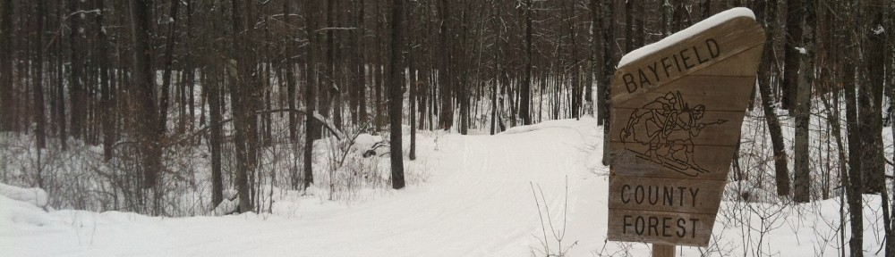
Good Friday morning … here’s the latest on snow in Birkieland.
Wednesday evening’s snow fell quickly and steadily and blanketed basically the whole of the Birkie Trail with 2 to 3 inches of snow. The Birkie groomed the whole trail on Thursday although there are likely still thin spots and it is certainly not enough to allow the race to take place on the full trail, but it’s a start.
And that’s good, because something is coming this weekend. It will snow, the question is how much, and where the storm and gradient sets up. There will almost definitely be more snow as you go south, and the current forecast for Hayward sounds promising:
The latest snowfall forecast
favors the greatest potential for 3-6 inches of snow along and
south of US-2 in NW WI and south of MN 210 in Minnesota. The
highest of these amounts are generally favored along and south
of a line from Hinckley to Hayward to Park Falls where there is
a 20-40% chance of 6" or more snow accumulations.
There are ifs there, though. If the storm tracks south by 50 miles (as some modeling suggests) then it could be around 0.2″ of snow water equivalent meaning 2 to 4″ (and this is relatively light snow) but then others suggest it could be further north, with more like 0.4″ with the same ratios and 4″ to 8″ isn’t entirely out of the question.
So we’re still on a knife edge here, but I am willing to slightly change my predictions to:
5% just manmade loops (~13k)
15% manmade + some natural loops (~20k)
35% long single loop to OO or Boedecker
43% full Birkie to Hayward
2% something else
We’ll know more on Saturday evening, and a lot more on Monday. As Ketzel said on the podcast, she doesn’t envy the Birkie staff having to make this decision, but hopefully it will snow enough that they will move forward with the full Birkie taking place and hoping for a couple more inches of snow before race day (which is likely in the longer term modeling), with the fallback of a long loop at Telemark.
Hope. It’s still alive.