Hayward, we’re looking pretty good

10 days to the Birkie.

In 2017, we posted that we had a problem. And we did.

This year? All systems appear to be go. There’s snow on the trail. The warmest day, today, might hit 40˚ in Hayward, but it will be dry, so the snow won’t get washed away. Plus, it was 17˚ last night and will be 20 tonight, so the snowpack will retain the cold through the day. The top might slush up a bit, but it will refreeze tonight, ready to till away. Six hours above freezing won’t kill the race. Last year, the temperature was above freezing for 130 hours during the week before the race. For 64 of those, it was above 45. The numbers this year will likely be closer to 12 and 0. That we can survive.

So it’s warm (but not too warm) today, then cooler tomorrow, a little warmer this weekend (towards freezing, but maybe not above) and the cooler early next week. And then it gets interesting. But good interesting! The models seem to want to spin up a storm along the jet stream south and west of Hayward. Some models have the storm grazing Hayward, but some have a more direct hit. There’s an outside chance a foot of snow could fall next Monday and Tuesday. More likely it will be three or four inches. But that’s icing on the cake, since temperatures look to stay low enough afterwards it will be a powdery race on Saturday.

Nothing is set in stone. There’s still a chance the jet stream buckles and the storm surges warm air north (while it doesn’t seem likely, it did show up on one model run yesterday). But for being 10 days out, I’m much happier where we are this year than where we were in 2017. Or 2016. I’m going to go out on a limb (but really not too far): best Birkie conditions since 2015.
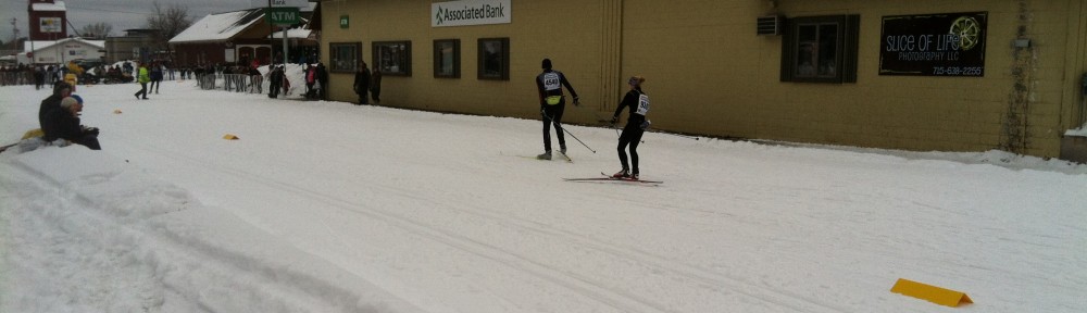
See you in Cable.

A tale of three models

We’re getting in to range now. 10 days out we start go get good reads from three models, 8 runs per day (2 each for the Canadian and European, four for the US), at least publicly (The US and Canadian models have free output, I generally view their output via TropicalTidbits; the Euro is harder, but you can get its output pretty well via the Norwegian weather service here.

The good news: the GFS model’s current run (with similar, if not as good, prognostication from recent runs). The US model only has a few hours barely above freezing, and then brings more good news in the form of fresh snow the week before the race and temperatures around 0 at the start of the Birkie rising in to the 20s during the race (similar for the Korteloppet). This is basically the perfect situation for the Birkie, a cold, snowy, firm-but-not-icy midwinter race.

The European is similar, although not quite as bullish, and doesn’t get us data right up to the Birkie itself, but doesn’t have really much meltdown. A little less snow. A little warmer leading in to the Korteloppet. But both these models lead us in to a pretty damn good race weekend weather situation.

Then there’s the Canadian model. This is basically the worst case scenario. It keeps it plenty cold (with a few inches of snow) for the next week-plus, but then diverges from the GFS. On Thursday, it pushes a low pressure center through Fargo, with temperatures pushing 50˚ and some rain. The course might survive; it’s not what happened last year. And a cold front would sweep through on Friday. But it would be very not good, so we don’t want to ride the Canadian.

12 days to go. Stay tuned …

Coming in to range …

One year ago, we posted that no news wasn’t good news. The models looked bad, and the outcome was worse. The skiing on the Birkie trail was great, but then the meltdown occurred. 13 days later, the race was kaput.

This year looks better. There’s good base; similar to last year. Not deep, but not scratchy. But the weather looks far better. Certainly not perfect: it will get above freezing at least once in the next two weeks, and may crack 40. But it should be a dry warmth, so it won’t be a warm rain washing away the base. And any warm temperatures should only last a few hours and be bracketed by cold temperatures, so the snow should retain cold temperatures in the base during the warm-up, and then will refreeze quickly afterwards. If it’s cloudy and 36˚, the snow may not even transform, as the retained thermodynamics keep the surface layer near the snow cold against the warm air above.

Now, things can change. At this point last year we thought the base might survive, and then temperatures went up. But right now, models show the temperature barely touching 40, with no rain. Compared to last year, that’s a pretty good place to be.

Reading tea leaves

We’re now 18 days from the Birkie.

(Okay, this is kind of scary. Have you started waxing your skis? You should.)

This is the point where we can start speculating about the weather. Sort of. Let’s start with where we are. We’re about where we were at this point last year: there’s good snow on the Birkie Trail, but it’s not particularly deep. The good news is that there are not long-range weather maps with sirens showing a huge warm-up. The not-so-good news is that we’re not out of the woods yet: there are some signs that it may be above normal the week leading in to the Birkie.

The next week looks cold (good) and dry. The week after looks like there may be a warm-up around the 15th, but the models are undecided on how warm it may get. The GFS has wavered between a couple of days above freezing and just temperatures moderating towards 30, while the Euro shows similar results. The Canadian gets warmer, with a couple of days around the 40 degree mark, but it’s a warm outlier right now. There’s nothing, however, which suggests a week in the 50s, a run at 60, and heavy rain (see 2017). We can’t rule it out, but it certainly looks better.

Keep an eye on this page as you select your skis. And hopefully we’ll be on race skis, not rock skis, in little more than two weeks!